NWS issues Extreme Cold Warnings for area counties
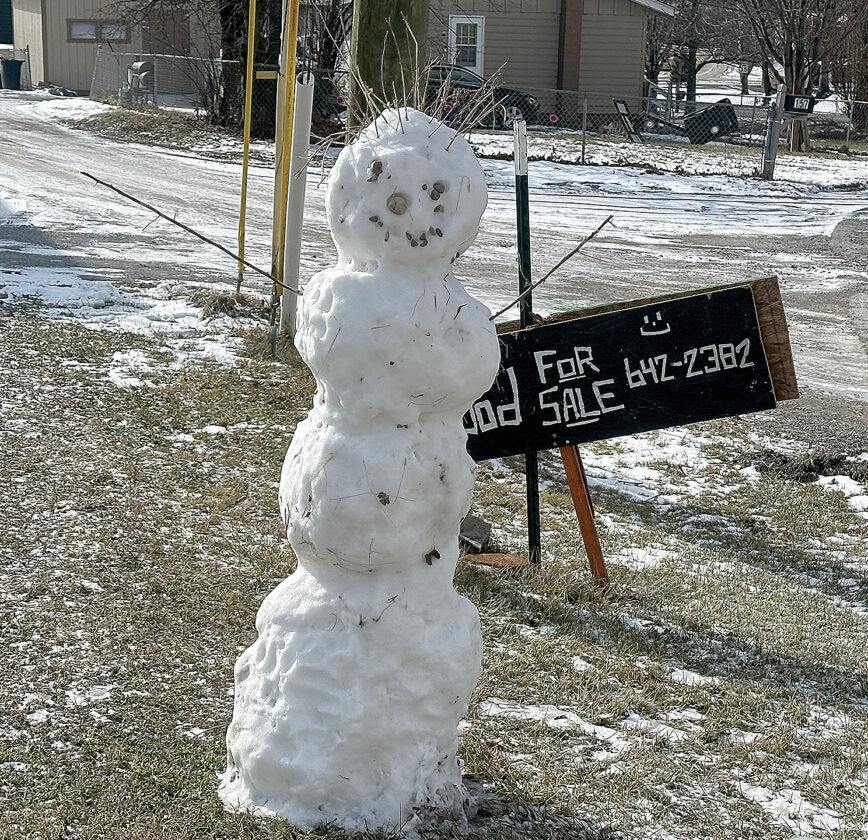
The Inter-Mountain photo by Taylor McKinnie A snowman stands in the sun on the corner of Wilson Street and Robert E. Lee Avenue in Elkins on Monday morning just before even colder weather arrives.
CHARLESTON — Extreme Cold Warnings have been issued for parts of Randolph, Tucker and Pocohontas counties until this afternoon, while most of the state is under a Cold Weather Advisory, National Weather Service reports.
In parts of southeast Randolph and northwest Pocahontas counties, which include Harman and Snowshoe, the National Weather Service has issued an Extreme Cold Warning that will remain in effect from 6 p.m. Monday until 2 p.m. today. The area should expect dangerously cold wind chills as low as 22 degrees below zero.
An Extreme Cold Warning has also been issued for eastern Tucker County, which includes Thomas, Canaan Valley and Davis, from 9 p.m. Monday until noon today. The area should expect dangerously cold wind chills as low as 25 degrees below zero.
Randolph, Barbour, Upshur, Tucker and Pocahontas counties are also among most counties in the state that are under a Cold Weather Advisory from 9 p.m. Monday until noon today. This advisory is also issued in portions of northeast Kentucky and southeast Ohio.
The National Weather Service warns that cold wind chills as low as 10 below zero could result in hypothermia if precautions are not taken by area residents. Frostbite and hypothermia can also occur if unprotected skin is exposed to these temperatures.
Very cold wind chills as low as 10 degrees below zero are expected in Randolph, Barbour, Upshur and Pocahontas counties, while wind chills as low as 17 degrees below zero are expected in Tucker County.
A blast of winter weather brought snowfall and subfreezing wind chills across the Midwest and East Coast on Saturday as well as near-freezing temperatures in parts of the South, including normally balmy Florida.
In northeastern Ohio, sudden bursts of heavy snow and gusty winds created whiteout conditions, according to the National Weather Service. Snow squall conditions moved into the Cleveland metro area and were expected to continue east into Pennsylvania and parts of eastern New York.
Local News

Barbour County woman facing 5 felony charges

Morrisey provides more State of the State context

Museum receives $5K donation

NWS issues Extreme Cold Warnings for area counties

Man charged with domestic battery
Extreme Cold Warning issued
CHARLESTON – Extreme Cold Warnings have been issued for parts of Randolph, Tucker and Pocohontas counties until ...