Elkins’ first GIS technician speaks before council
Martin

Martin
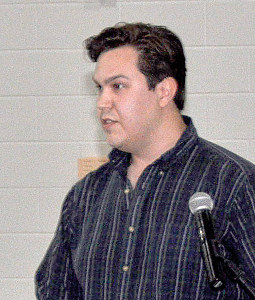
ELKINS — Elkins officials introduced the city’s new Geographic Information Systems technician during this week’s city council meeting.
Ben Martin, who is the city’s first GIS technician and the sole member of the new GIS Department, led those in attendance through a presentation using the city’s GIS homepage.
“GIS are just a group of tools,” Martin said during Thursday evening’s meeting. “There’s all kinds that allow us to collect, manage, analyze and create visualizations of spatial data.
“The city has all kinds of information,” he added. “Whether it’s our infrastructure, whether it’s prime data, geographic data, building inspections, all that kind of stuff. But all the data we’re talking about exists in the world around us, it doesn’t just exist on a spreadsheet.”
With GIS “we are able to do a range of analysis to help us understand how and why these things exist, but more importantly for what we’re doing right now, it helps us look at where these things exist,” Martin said.
“I’ve been at like a ton of meetings where you had somebody talking about where something is, but he’d say, ‘Oh, you know, it’s over next to Shirley’s house, you know, the aunt of Justine, she used to work at the hospital,” he said, laughing. “And like, if you don’t know who Shirley and Justine are or anything like that, you’re totally lost. That’s not to discount that type of knowledge, because I think it’s really important to put a human aspect to location.”
As part of his job, Martin has created apps for various city projects and events in order to provide information to the public.
“Basically all this stuff is to help us give more context to where things are happening, especially if you don’t have any kind of context,” Martin said. “The Spring Cleanup app is another one that was requested of me to make. I figure all of you probably know what Spring Cleanup is, it’s a pretty amazing service that’s provided to the residents of Elkins.
“But it creates a lot of headaches as well,” he said, laughing, “because an astounding number of people, from what I’ve been told, don’t know what ward they live in. They don’t know what the dates are … so again, this is just another tool to try to give people context. Especially since a lot of people are, you know, there’s different types of learners. This allows people to get in here and play around with this stuff, and zoom in and out and see where your house is and where everybody elses’s house is.”
Martin has begun adding GIS applications on the city’s GIS homepage at coewv.maps.arcgis.com.
“Something I’m always striving for is to make sure that people can access this and that it’s useful,” he said. “I figure most of our users are probably going to jump on their phone, because that’s what everybody has, look at it maybe one or two minutes, if we’re lucky, play around with it a little bit, and then jump off and get back to their daily lives, and that’s totally fine.”
Martin previously served as an AmeriCorps member working with Elkins Main Street.
According to a City of Elkins press release, the establishment of a new department within the Elkins city government will enable the city to take better advantage of modern digital tools and techniques for analyzing and presenting important data.
“The term GIS refers to specialized hardware, software, and personnel organized for the purpose of gathering, managing, and analyzing data with geospatial components. Most associated with the field of geography, GIS combines non-spatial data, such as demographics, records, or other details, with a spatial component, such as an address, coordinate, or boundary,” the release states. “Adding a spatial component to data allows GIS technicians to perform a range of analyses to better understand how data is related, where those relationships exist in the world around us, and what insights can be obtained from these relationships.”
“While GIS tools help collect and discover new insights into data, GIS is most well-known for the ability to produce maps, and for good reason,” Martin said in the release. “Without accurate, easily understood maps, the most profound insights from data won’t be visible to the end user. A lot of the efficiencies from GIS in local government come from being able to share information effectively with the public, elected officials, and city employees, and maps are a great tool for doing so.”
Local News
Greenbrier loan holders oppose preliminary injunction
CHARLESTON – A federal case to appoint a receivership for the historic Greenbrier Resort might be delayed for the ...

Garden Club seeking more Rosies for statue
Man charged with failing to register
COALTON — A Randolph County man faces a felony charge after allegedly failing to update his employment status in ...

Major drug trafficking indictments announced

Strumming in the Sun
School donated to Harman Education Association
ELKINS - The Randolph County Board of Education decided during Tuesday night's regular meeting that the Harman ...