January brought snow, frigid temps
The Inter-Mountain photo by Edgar Kelley Elkins City Hall employee Lisa Gassnola shovels some snow from the sidewalk at the back of the facility. The start of the new year has had its fair share of wintry conditions.

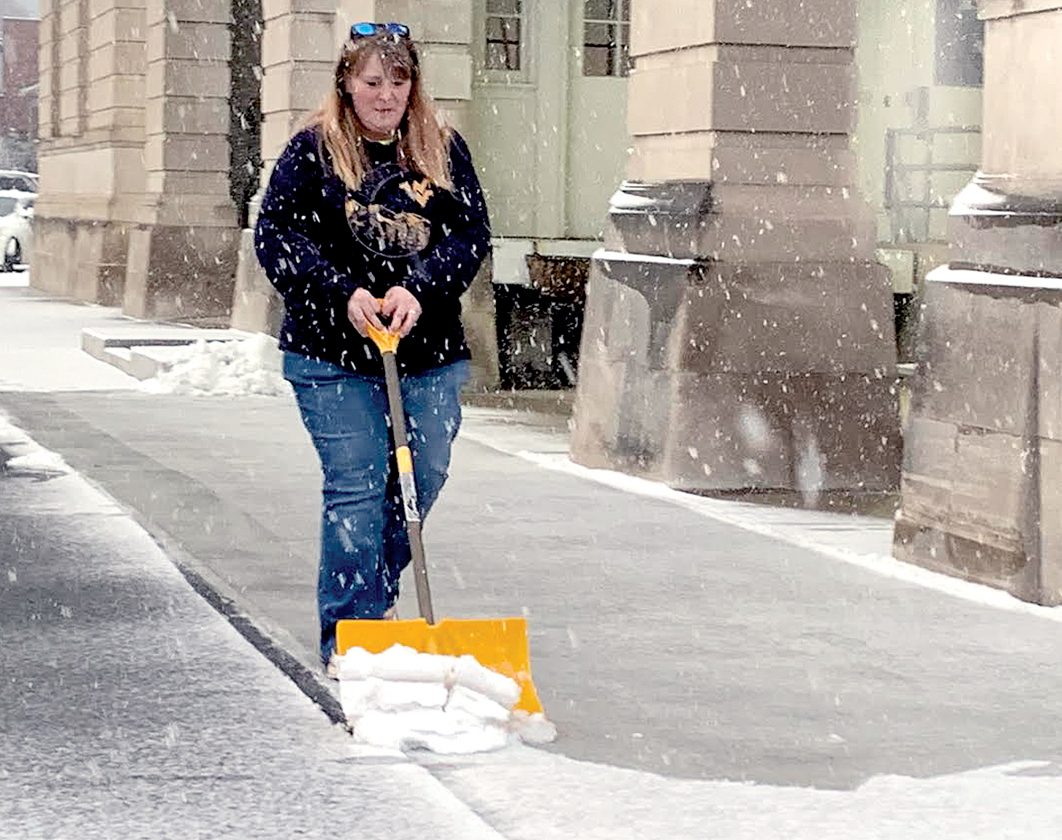
The Inter-Mountain photo by Edgar Kelley
Elkins City Hall employee Lisa Gassnola shovels some snow from the sidewalk at the back of the facility. The start of the new year has had its fair share of wintry conditions.
ELKINS — It was a blustery, wintry January in this region, with Elkins receiving three more inches of snow in the month than normal.
Elkins saw 23.6 inches of snow in January, up from the normal 20.3 inches the city receives in January, according to the National Weather Service.
The average temperature for Elkins in January was 26.9 degrees Fahrenheit, down from the city’s normal average of 30.8 in January.
The month was highlighted by a pair of winter storms, with the first hitting Randolph and surrounding counties just before the weekend of Jan. 8. The storm began its ascent into the area on the evening of Jan. 7 and by the time it was all over the area saw a significant amount of accumulation.
Mill Creek was blanketed with 14.5 inches of snow from the storm. Beverly saw 11.5 inches, while Elkins and Buckhannon received 10 apiece. Parsons residents woke up to 9.5 inches that morning and Philippi saw 8.1.
The second significant storm came the weekend of Jan. 15 as residents once again saw a steady amount of snow hit the area. The storm produced a total of 5.8 inches in Elkins, but it was Davis and Philippi that saw the most with 8.8 and 8.2 inches, respectively. Beverly checked in with 6 inches of snow from the second storm.
Significant snow isn’t the only thing that plagued the area to start the year as January saw its fair amount of cold temperatures as well. Elkins saw the thermometer drop to as low as -5 degrees on the morning of Jan. 22.
Canaan Valley, meanwhile, saw a record low on that same date as temperatures fell to a frigid -31 degrees. The coldest temperature on record for West Virginia came back in 1917 when it reached -37 in Lewisburg. Elkins’ coldest date on record was that same year, when it reached -28 degrees on Dec. 30.
Now that the month of February has rolled around it appears we may be in for much of the same, at least in the early part of the month as the National Weather Service in Charleston is calling for some messy weather later this week.
A cold front tonight is expected to bring rain into the area and continue into Thursday. Some of the rain could be heavy at times and minor flooding is possible near streams, creeks, or low lying flood areas. A wintry mix of snow and rain is expected on Thursday with a significant amount of freezing rain possible.
Those weather conditions are expected to continue through Thursday night and on into Friday when the mix is expected to turn completely to snow showers in the afternoon. The chance of precipitation on Friday is 90 percent, and temperatures are expected to dip down to close to 10 degrees after midnight.
Local News

Barbour man facing multiple felonies

Fair retires after 15 years in Drug Courts
BOE hears from entities wishing to obtain Harman School
ELKINS - Two of the three entities looking to obtain the Harman School property gave informational presentations to ...
City Demolishes House

Randolph County Democracy Dinner set for June 13
Community Calendar
EDITOR’S NOTE: The Community Calendar is reserved for nonprofit, civic organizations. Unless otherwise noted, ...